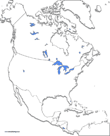
North America Continent Maps
Select from several printable maps.
Canada Maps
Choose from coastline only, outlined provinces, labeled provinces, and stared capitals.
United States Maps
Choose from coastline only, outlined states, labeled states, and stared or labeled capitals.
Mexico Maps
Choose from coastline only or stared capitals.
 Our maps require the use of Adobe Acrobat Reader. Most computer systems already have this progam.
If you do not have it you can download it free by clicking the icon to the left.